
~High Tove~
9th February 2023

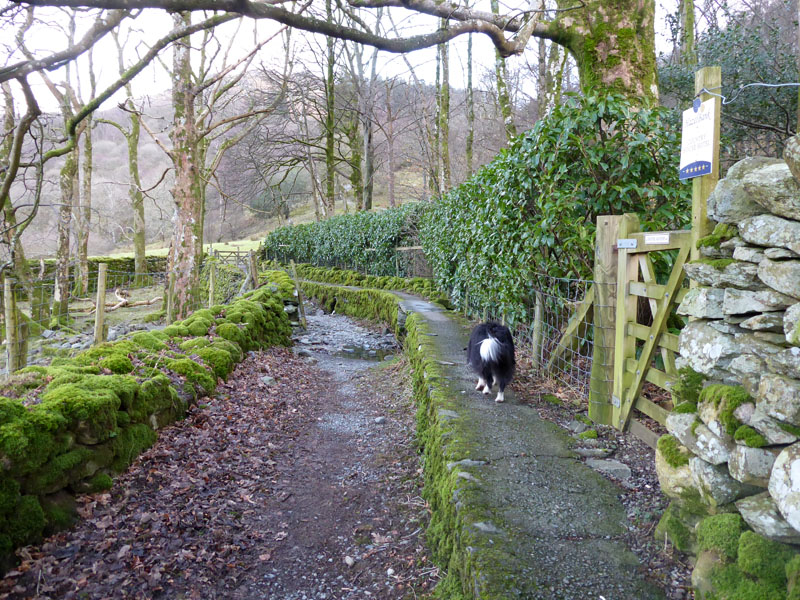
Molly on top of High Tove
 |
 |
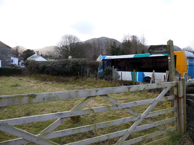
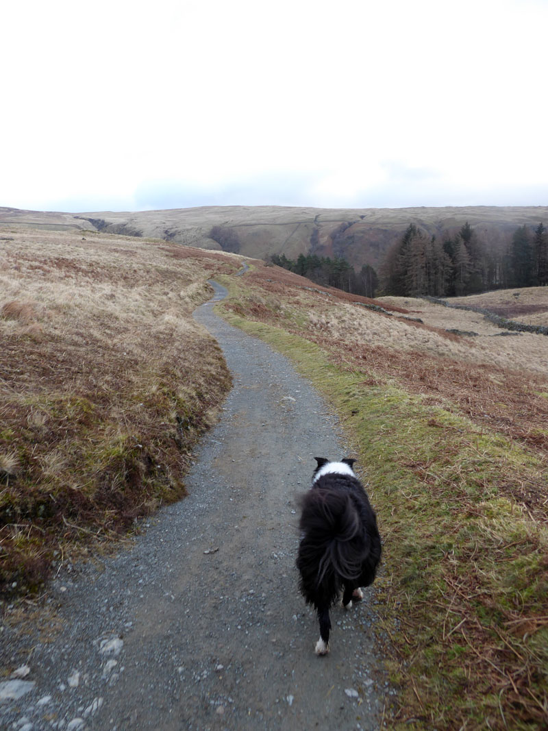
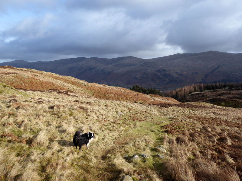
It's now Thursday on this short break in Lakeland. Today's plan involved leaving the car in Keswick and getting the No.77 bus into Borrowdale and alighting at Rosthwaite. At the time of writing, most bus journeys are £2; you can go as far as one fare will allow you. The concession is due to expire on 31st March 2023. We are initially heading for Watendlath.
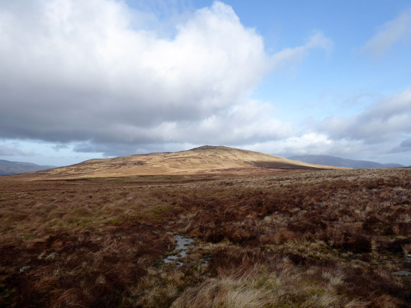
High Doat
The low wooded fell is High Doat and visible behind such is Base Brown, a target for three other walkers on the bus.
Resting Stone
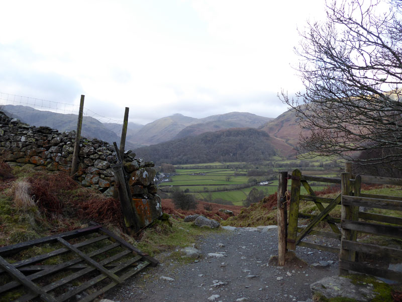
Two paths up from Borrowdale meet here and join for the route up to Watendlath. The map refers to "Resting Stone" and just maybe the stone next to the path is such. My limited knowledge on the subject leads me to believe that this could have been a "coffin" route and the bearers would have taken a breather here and rested the coffin on the stone en route to burial.
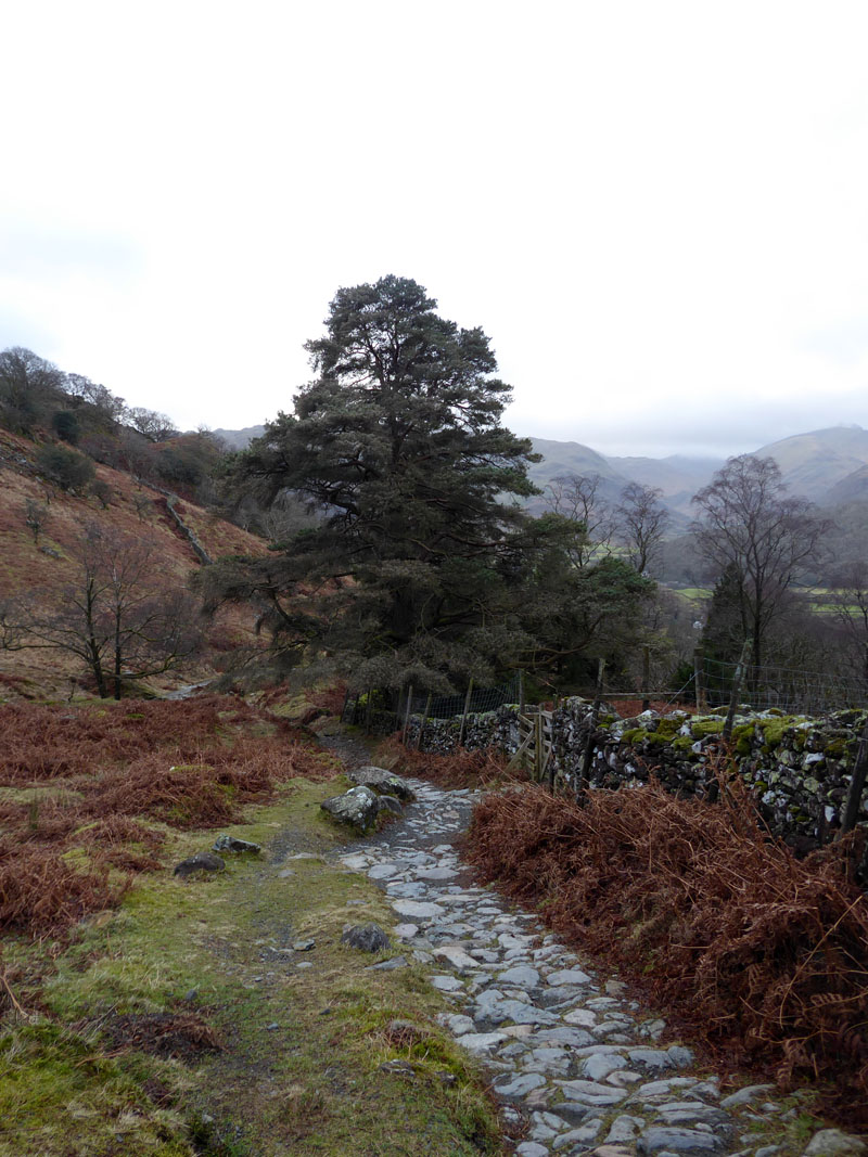
To Watendlath
 |
 |
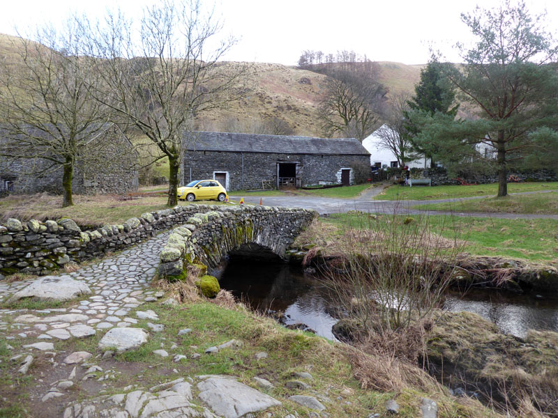
Watendlath |
Watendlath Cafe (closed) |
It came as no surprise or disappointment to find the cafe closed and in an era when "closed" sometimes means never to open again, nothing I saw suggested this was the case and we can all hope the small refreshment opportunity will reopen when the warmer weather arrives.
~~~
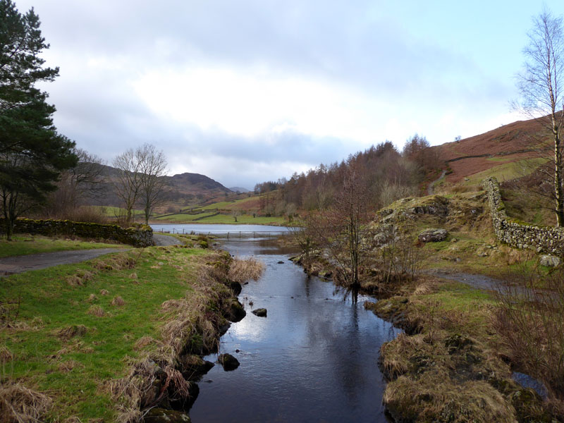
Watendlath Tarn
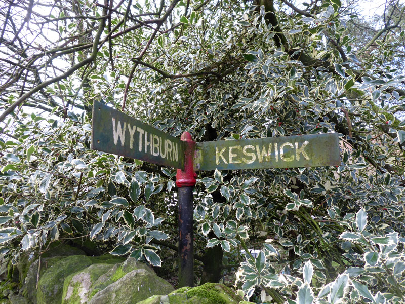
Wythburn & Keswick Signpost
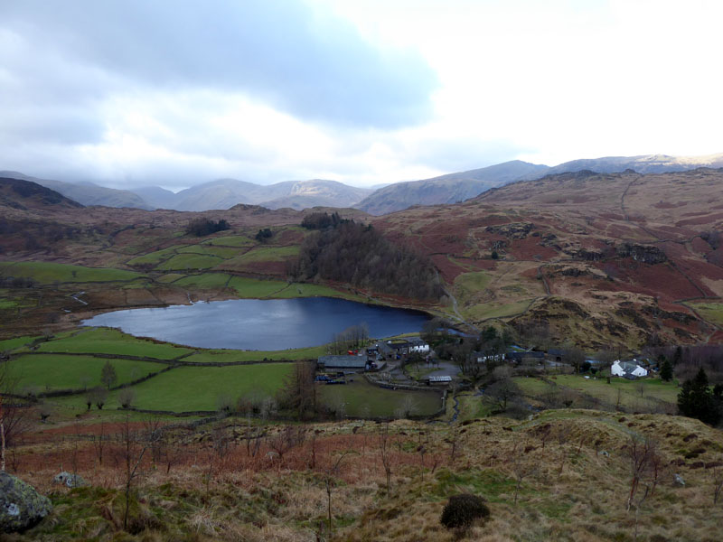
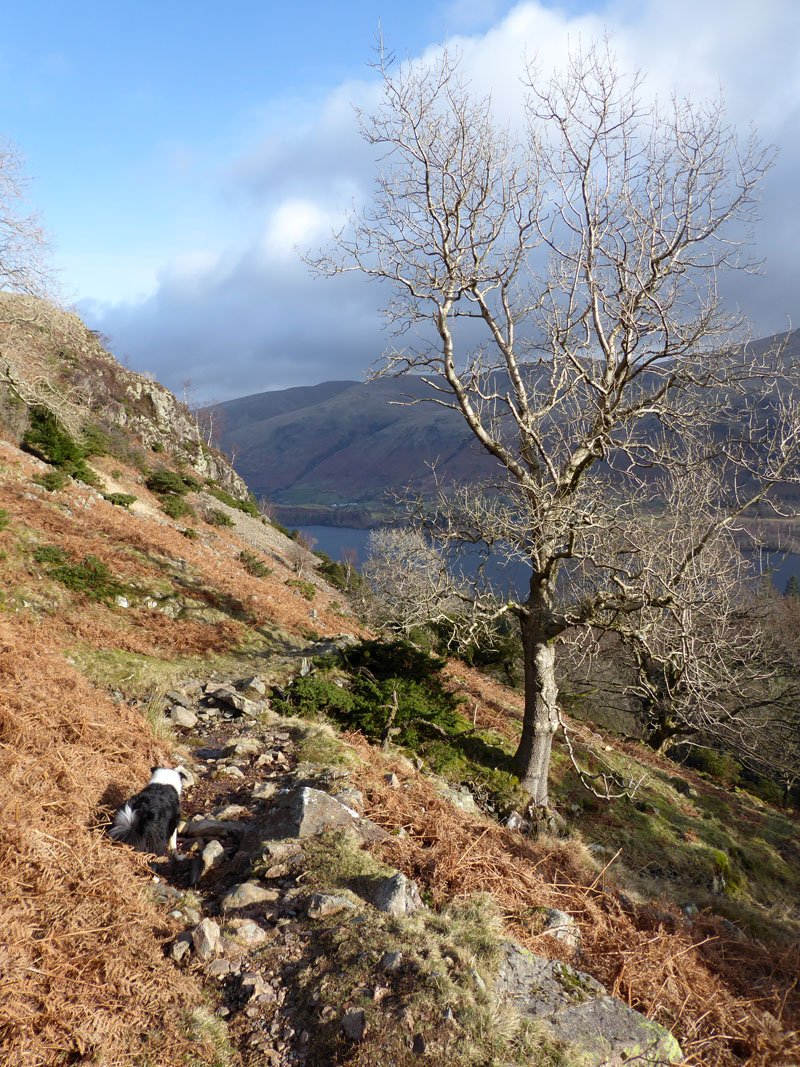
Watendlath Tarn
We are heading for High Tove on a direct path up from Watendlath.
 |
 |
To High Tove |
High Seat |
Up here, there are works to restore the peat landscape. Dams are being built to trap water; nothing is being done to improve paths. And why should funds be wasted on making good footpaths up here? There is no obvious danger to walkers, only the ever-present risk of getting your feet wet.
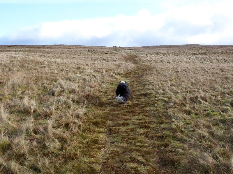
Molly on top of High Tove, 1,665ft asl
Another new one for Molly. It was decision time and the options were (a) go back to Watendlath for an alternative route down to Borrowdale; (b) head to High Seat and take a descent to Ashness Bridge or (c) carry on eastwards to Armboth for a walk along Thirlmere to the dam and a bus onto Keswick. It was chilly and it seemed wise not to head for High Seat - we set off to Armboth.
To Armboth
More bog and squelch until we reach this firmer path on the way down to Armboth.
~~~
It is a pleasant descent alongside Fisher Gill down to Thirlmere.
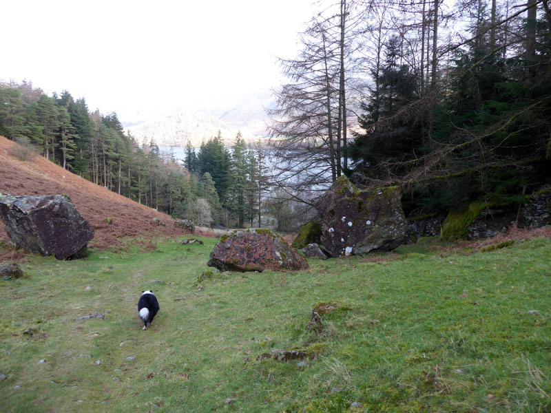
The Big Boulders
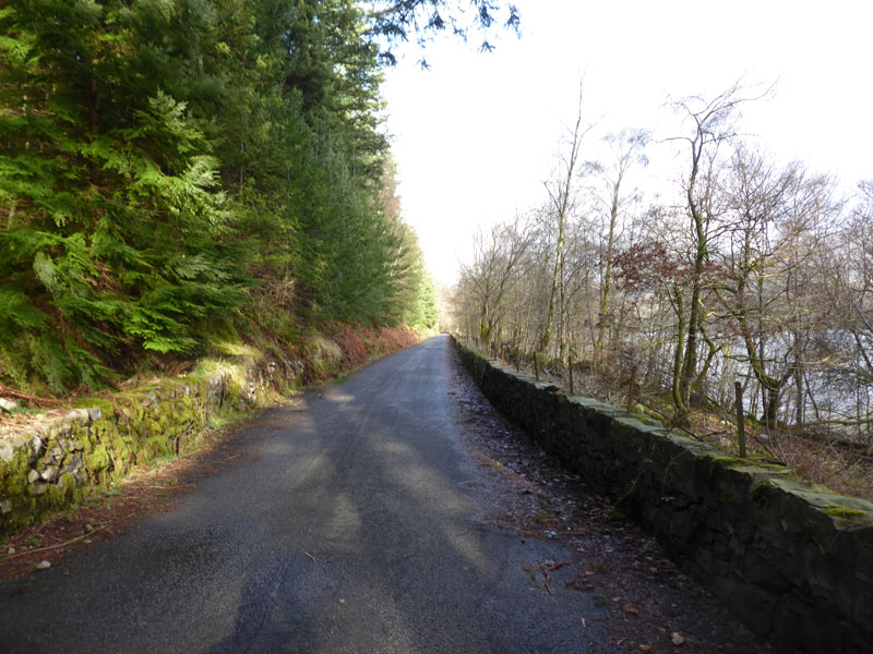
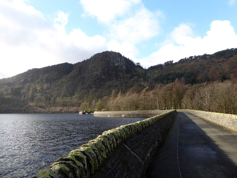
To Thirlmere Dam
A steady 20 minutes or so walk along the tarmac to Thirlmere Dam. The road is very quiet just now as it is closed to through traffic with motor vehicles allowed in from each end, but not over the dam and not all the way along.
Hmmm...
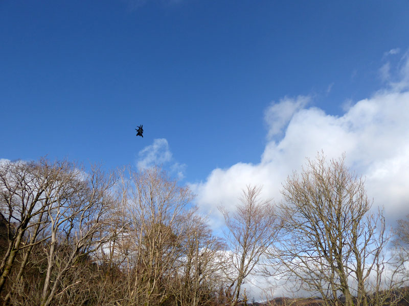
As we sauntered across the dam, a rather speedy military aircraft zoomed over us and luckily I had the camera switched on. You don't get much warning of their approach.
 |
 |
Thirlmere Dam |
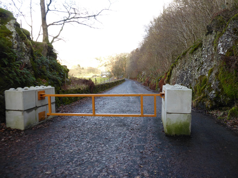
The Barrier |
The barriers are quite substantial and allow for walkers and cyclists to progress.
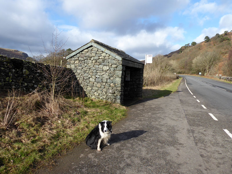
Bus Stop
Luckily, a bus was due in 20 minutes. Another £2 gets us back to Keswick.
Walkers: Me n' Molly
Time taken: 3hr over distance of about 6 miles.
Route: Rosthwaite, bridleway up to Watendlath, straight up to High Tove and down to Armboth on the Fisher Gill route. Road to Thirlmere Dam and the A591.
Weather and Conditions: Bright and breezy, rather cool on the top.
Greetings: You'd be very lucky to meet anyone on High Tove and today was no exception. A few folk milling around Watendlath.
All photos copyright Richard Ratcliffe 2023 ©
Take me back to the start ....